Seneca Creek Hike: West Virginia Looks Like West Virginia
Finally went to West Virginia. It looks like what you would expect.
Pretty much exactly.
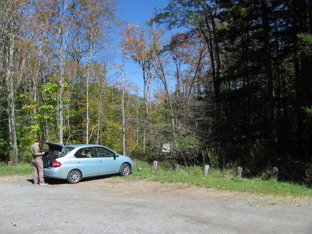
Went down there with a dude from school for an overnighter hike. The drive down from Pittsburgh features a lot of scenic valleys and countryside (it was disconcerting how rich Maryland looked in comparison to Pennsylvania), then we stopped at one of the most outlandishly lavish only-open-four-days-a-week National Forest Service visitor’s centers I’ve ever seen, located in Seneca Rocks, W.Va. I used the restroom there. After that, we drove up the eventually gravel road to the Seneca Creek trailhead. It’s the sort of gravel road you can take a first-gen Prius on without concern.
Trailhead parking lot with first-gen Prius.
And from there things generally got easier. Most of the hiking guides suggest starting at the Lumberjack Trail trailhead, then taking that trail up and around past the falls to the campsites along Seneca Creek. Many online reviewers commented that the Lumberjack Trail is awful and boring, however. As such, we opted instead to do the hike as mostly an out-and-back along Seneca Creek. Posterity will want to know this.
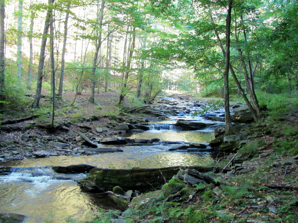
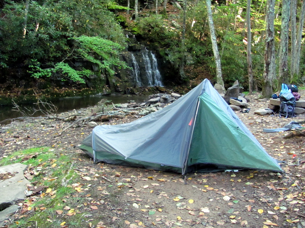
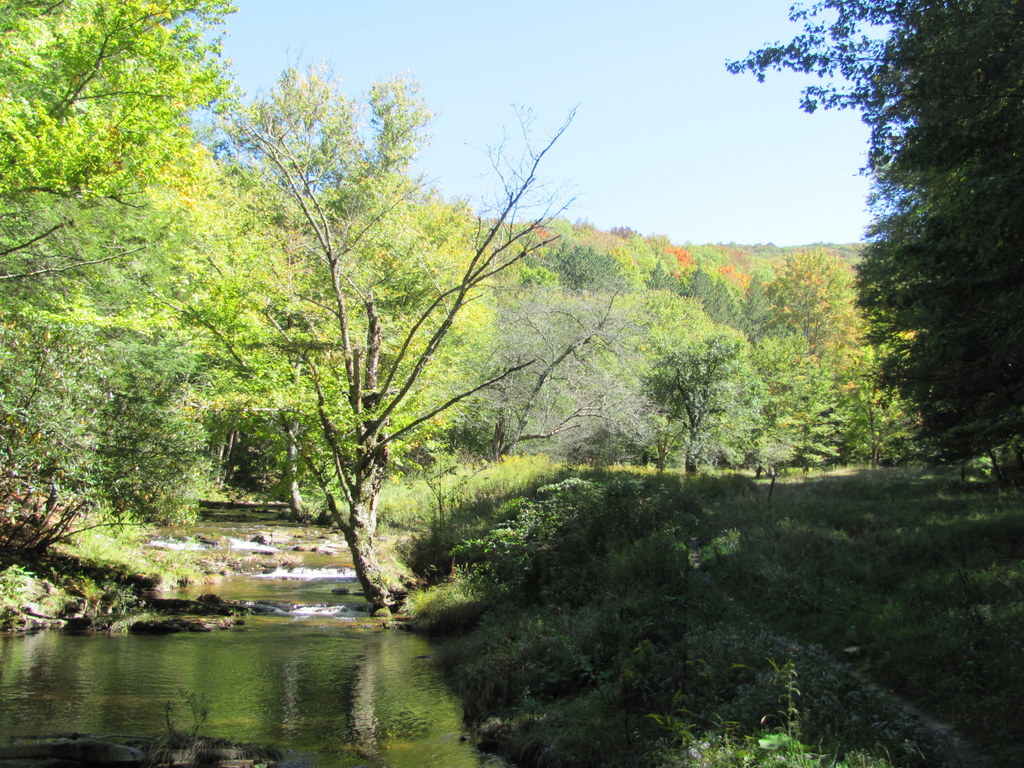
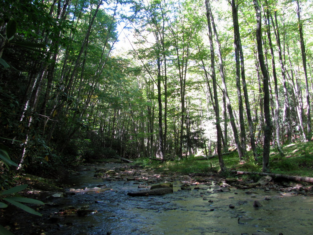
So: we headed down-river (-creek). We soon came to a bunch of cool campsites and tidy little cascades. This area has some of the nicest campsites I’ve ever seen. It’s amazing how much better national forests (and recreation areas) are with regard to camp sites as compared to the national parks. This was our site:
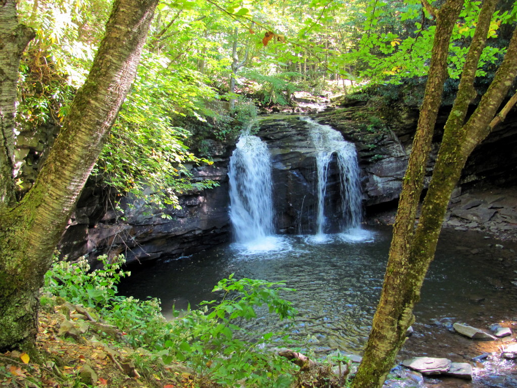
The hike eventually brought us to Seneca Falls, which looks very much like the kind of waterfall you would expect to find in West Virginia:
From there, we backtracked back to the campsite and set up shop for the night. Next day we left our gear at the site and hiked up and around the High Meadows (this took us on part of the aforementioned Lumberjack Trail, which was expectedly awful due to its swamp-like condition). There wasn’t a lot to see up there — mostly trees and hillsides covered in trees. It would probably look better when the leaves are changing, but whatever. We looped back around past the falls again, back to the campsite, then picked up our gear and high-tailed it out of WV.
Some other notes:
- As Thomas keenly noted, there was an unsettling lack of birds there.
- There are a bunch of stream crossings on the hike, although the one immediately before the falls was the only one that got over ankle depth.
- Our trip was on a Wednesday-Thursday; we saw no other hikers whatsoever (although there were two other cars at the trailhead when we got back).
- This hike would probably be pretty awesome during peak color season. Might even make the High Meadows component worth hiking.
- While the campsites are great, this would be a very reasonable day-hike if you wanted to work it that way.
- Just to be clear on our route… Day 1: We took the Seneca Creek Trail to Seneca Falls, then backtracked to one of the campsites. Day 2: We backtracked to the Judy Springs Trail (after you cross the bridge from the Seneca Creek Trail, TURN LEFT to continue on the Judy Springs Trail — this was confusing), turned right onto the Huckleberry Trail, then turned left onto the Lumberjack Trail, which turns into the High Meadows trail, which eventually curls around and meets up with the Seneca Creek Trail at the falls; we then took the Seneca Creek Trail back to our campsite to pick up our stuff and then back to the waiting first-gen Prius at the trailhead.
- This is a pretty easy hike.
- The food at Dairy Queen is always a lot better than I think it ought to be.
bkd
PS, For some reason this WordPress theme can’t handle the concept of centering photos in a consistent manner.

I wanted a photo of the lavish NFS building. The falls were no Cucumber Falls. How long of a drive from the Burgh? Any coalminers’ daughters?
Yeah, should have taken that one. About 4 hours from Pgh, but they went by very fast; it’s a scenic drive.
$10 if you can discern the derivation of my user name. Boise has strem walks, but mostly with rattlers on the rocks.