Black Mesa State Park: Highest Point in Oklahoma, Good Clouds
Driving from Norman to Salt Lake via Rocky Mountain National Park while avoiding Kansas results (or did in this case) in traversing the entire Oklahoma panhandle. At least Oklahoma is actually pan-shaped. Florida and Texas would be hard to cook anything in. Also not sure the Texas handle would provide enough grip for the entire state.
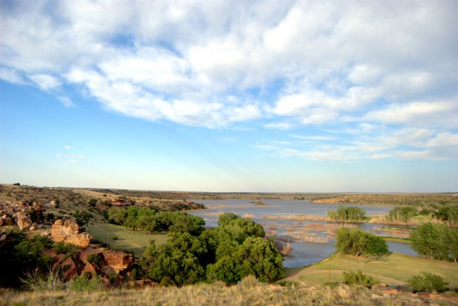
At the far western end of the panhandle, basically in New Mexico, is Oklahoma’s highest point, Black Mesa. They have a campground nearby, although the campground offers no views of the mesa, which doesn’t actually come off as being all that tall in reality. It does, though, have views of some swampy creek thing with a lake.
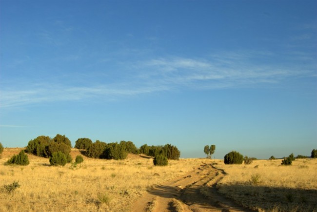
They also have landscapes without swamp lakes.
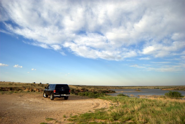
Camped there for a night. Super windy. Loud wind that inhibits sleep. Hard.
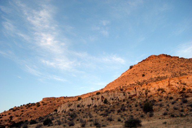
Next day, I drove out to the mesa. It was okay. There are actually a bunch of mesas clustered sort of together a few miles from the campground. Eventually one of them is Black Mesa. It might have been this one:
There’s a trail you can take to the top of the mesa. I took it for about a half a mile instead and found scrubby trees.
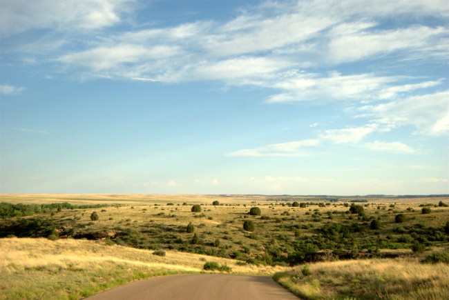
And then I headed back toward the highway. Here is evidence of that portion of the overall journey:
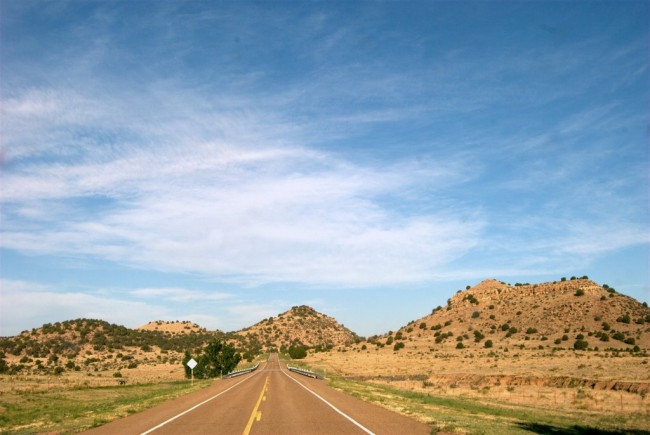 Looks like something you’d expect to see in the far-western plains. I liked the clouds.
bkd


