Backpacking to Island Lake: Day 2
And then I woke up. Because it was the next day.
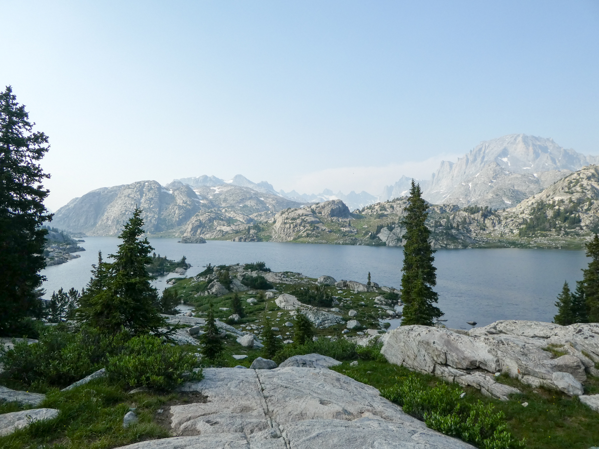
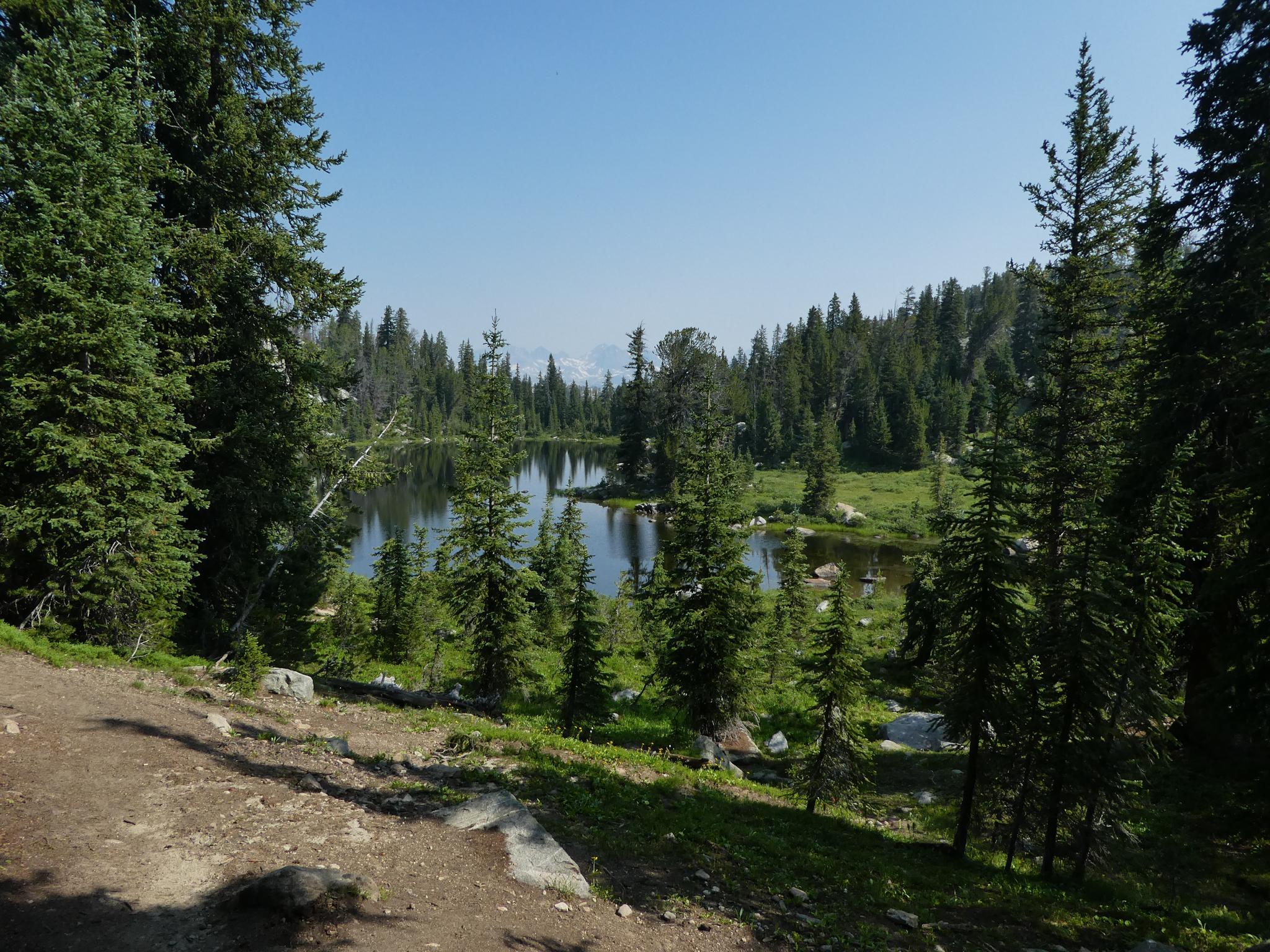
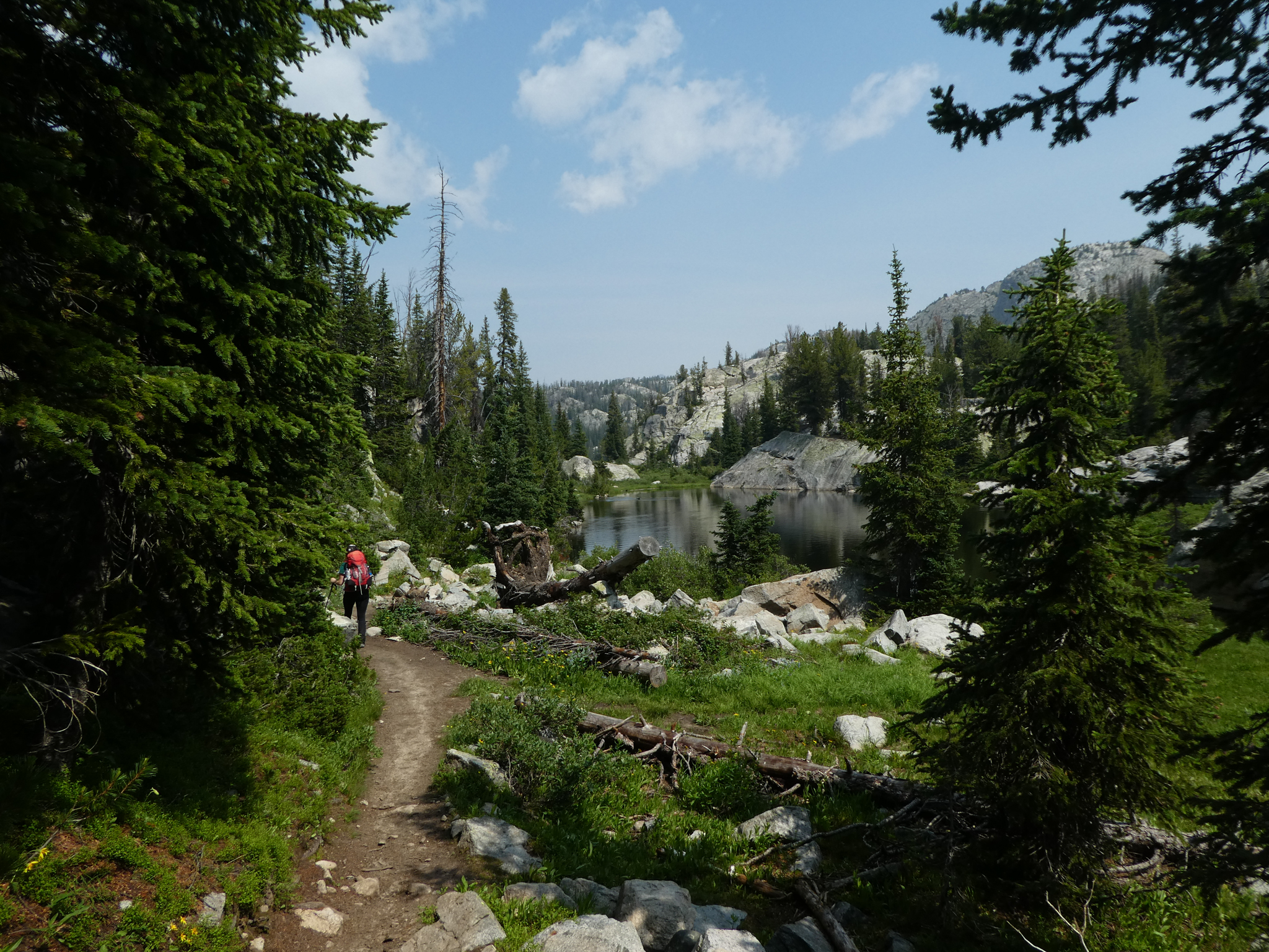
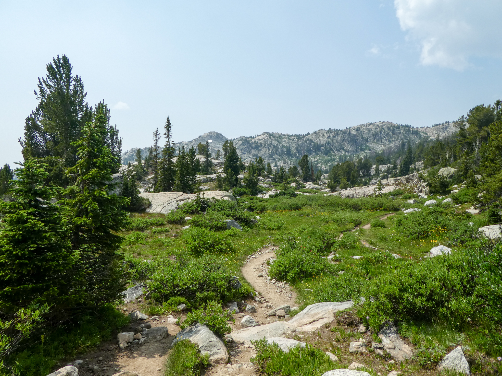
Here’s probably my favorite photo of Upper Sweeney Lake. I took it on the way out on Day 2. Better lakes would come, but, hey, meadow, etc.
From there, you’re hiking out of the lake basin. This second day was just a series of hiking out of a basin, then hiking back in to the next one. The net altitude gain from the trailhead to Island Lake is minimal (ca. 1,000′), but the actual vertical feet hiked over that span is maximal (don’t recall except for being ready to just concede and die of exposure by the side of the trail on several occasions on Day 2).
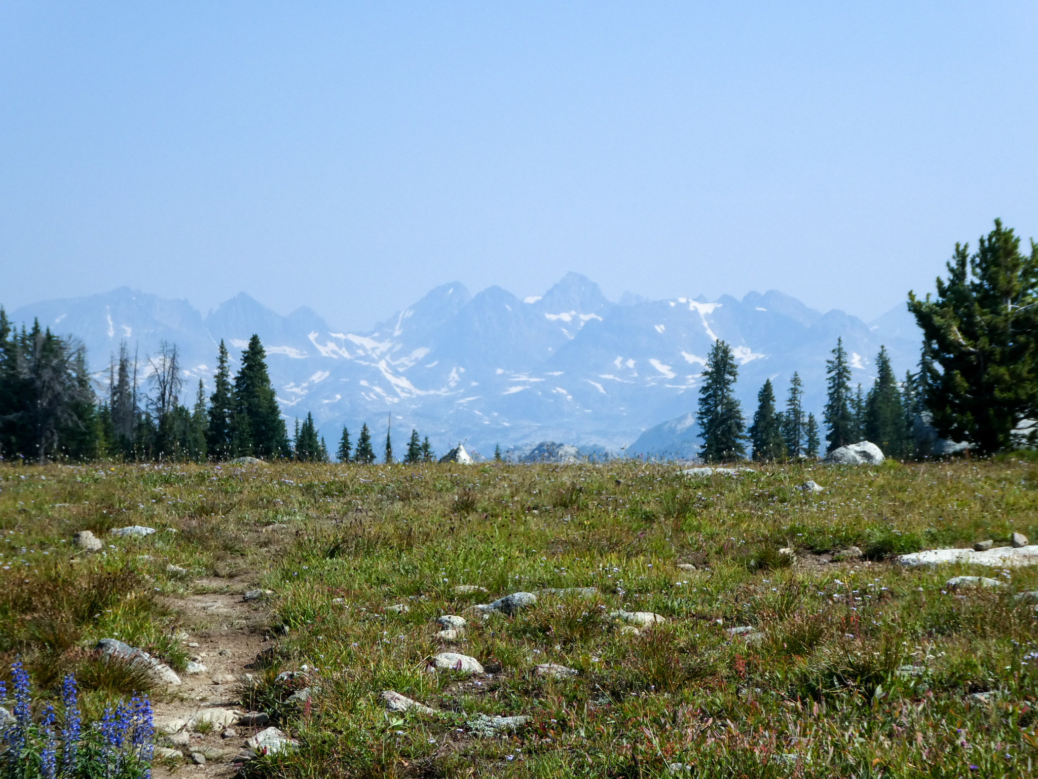
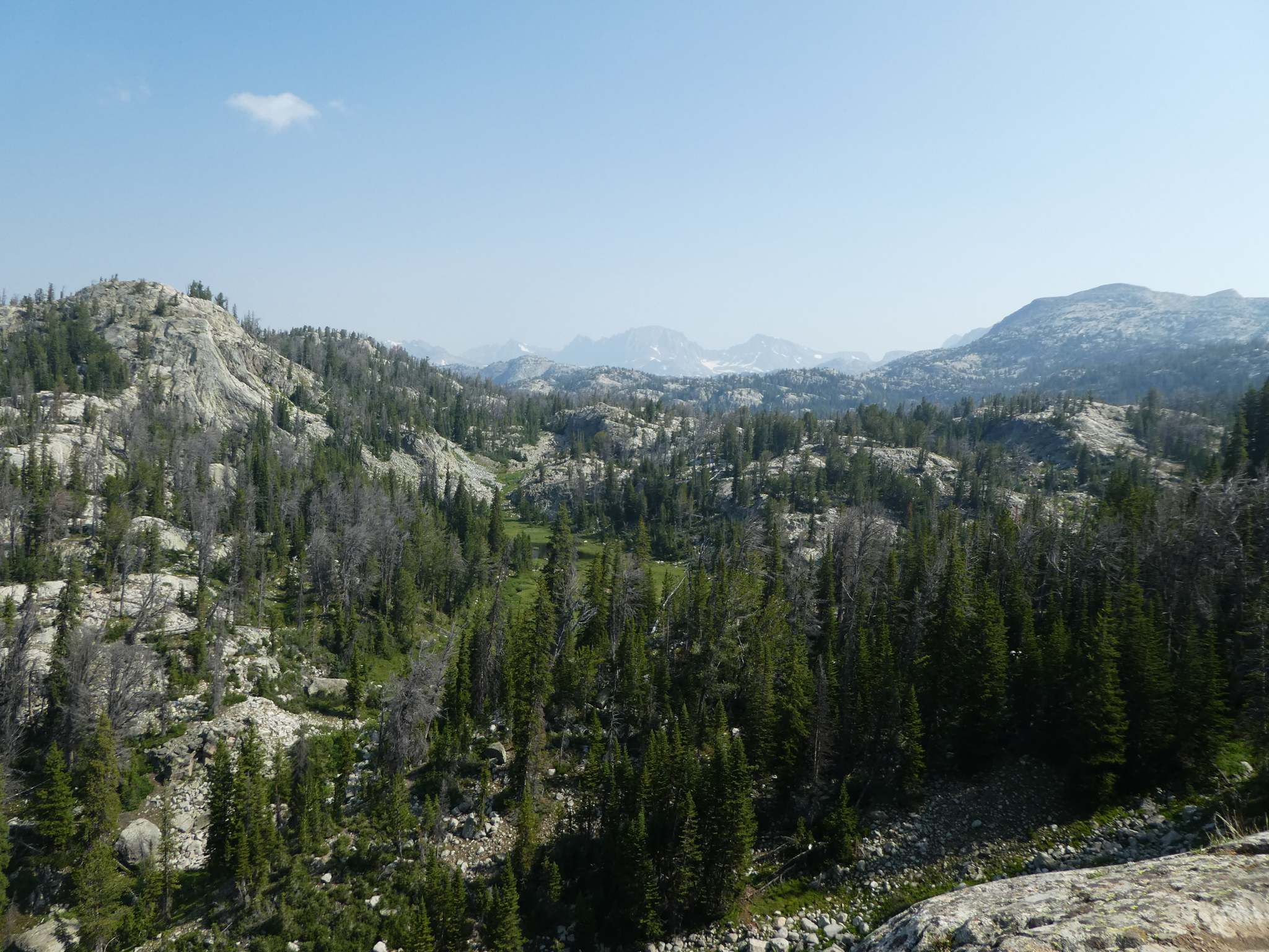
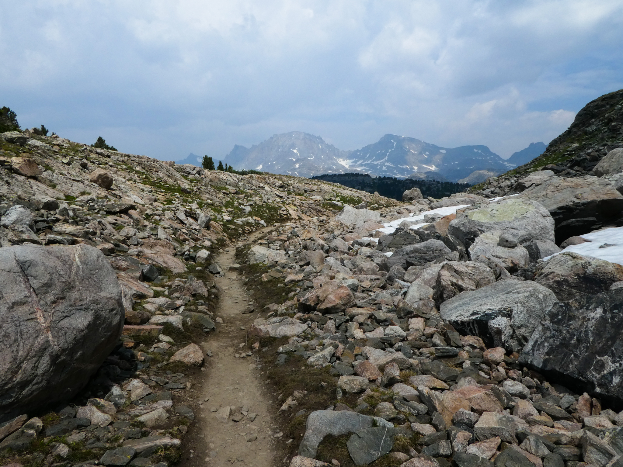
On that happy note, just as you’re exiting the Upper Sweeney basin, you get your next view of the Winds:
Always taunting.
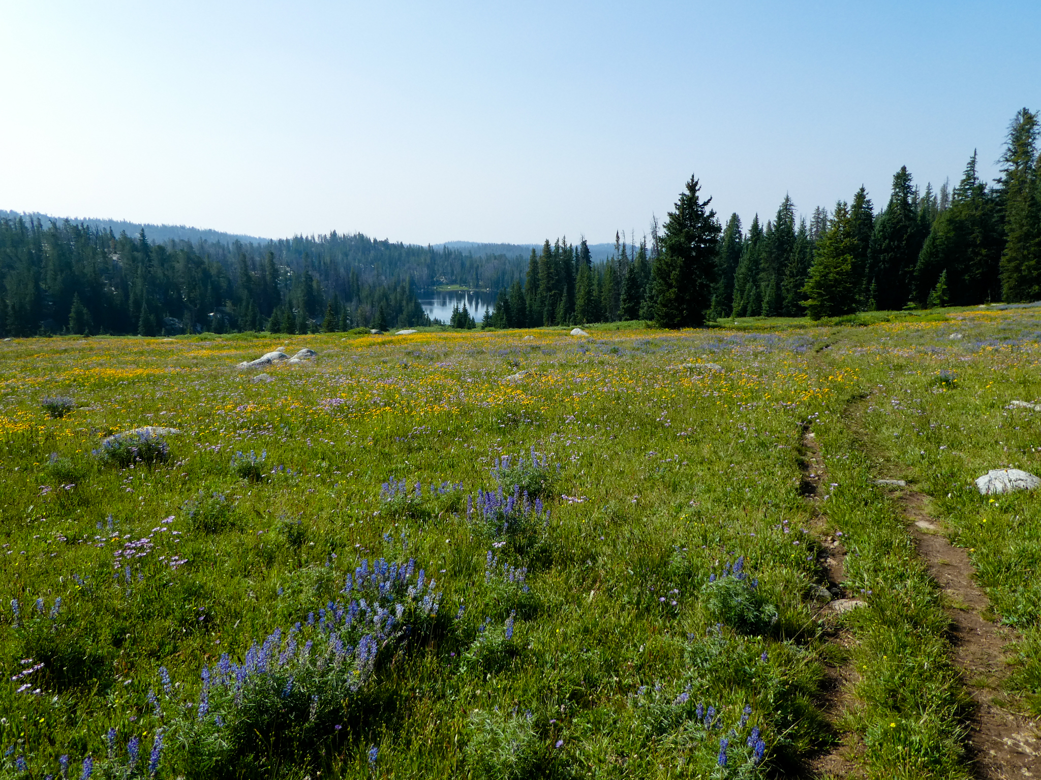
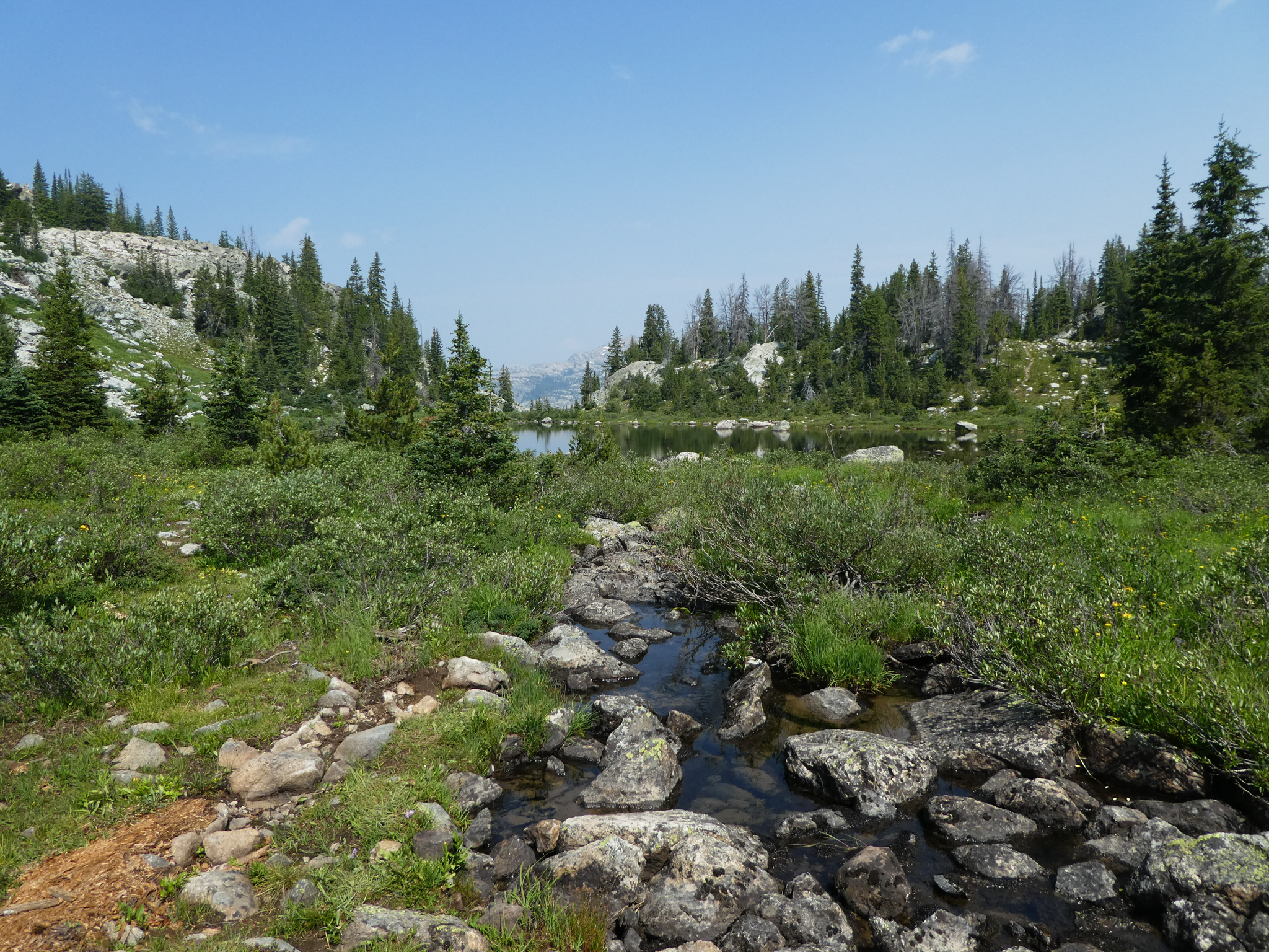
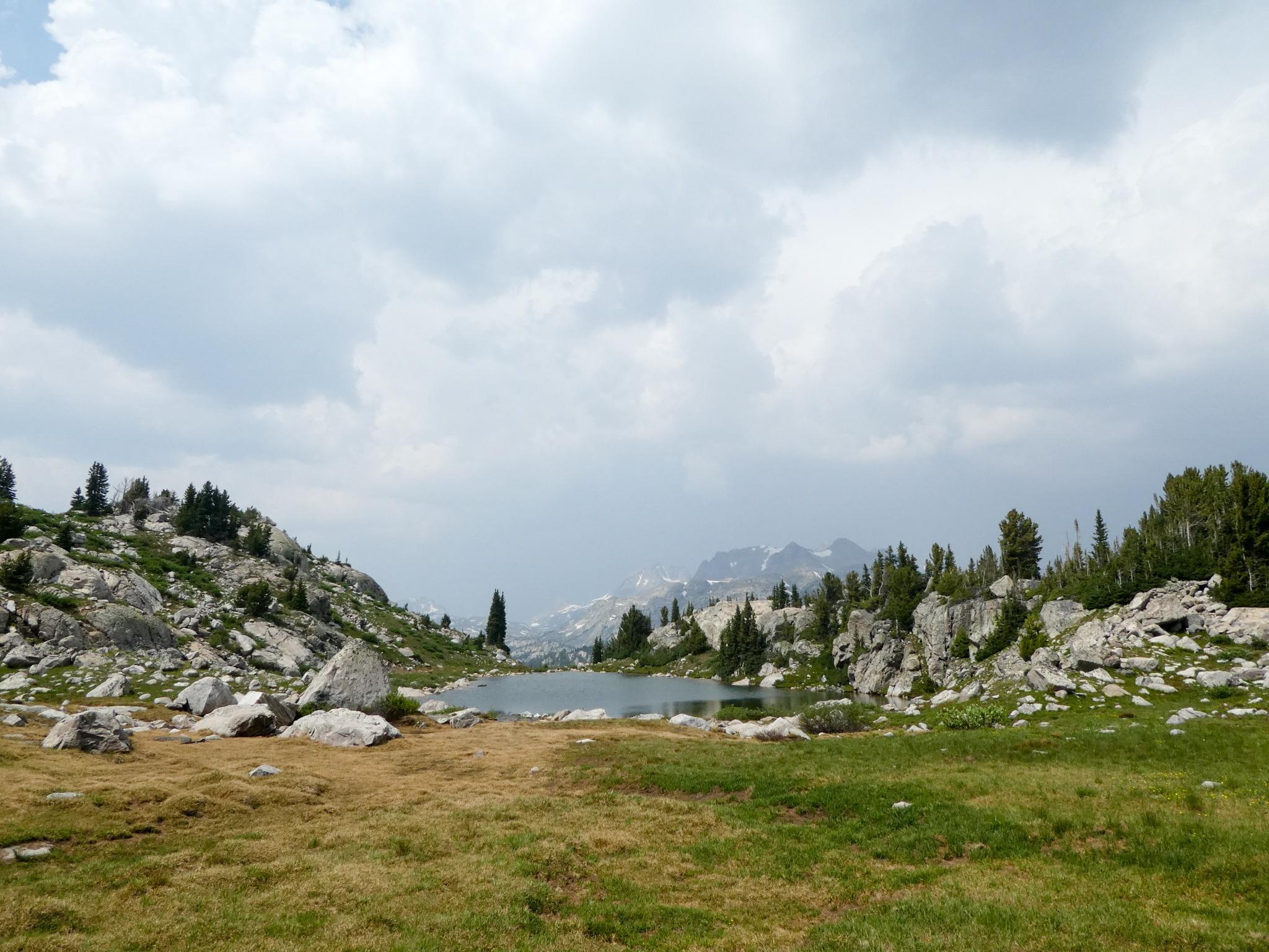
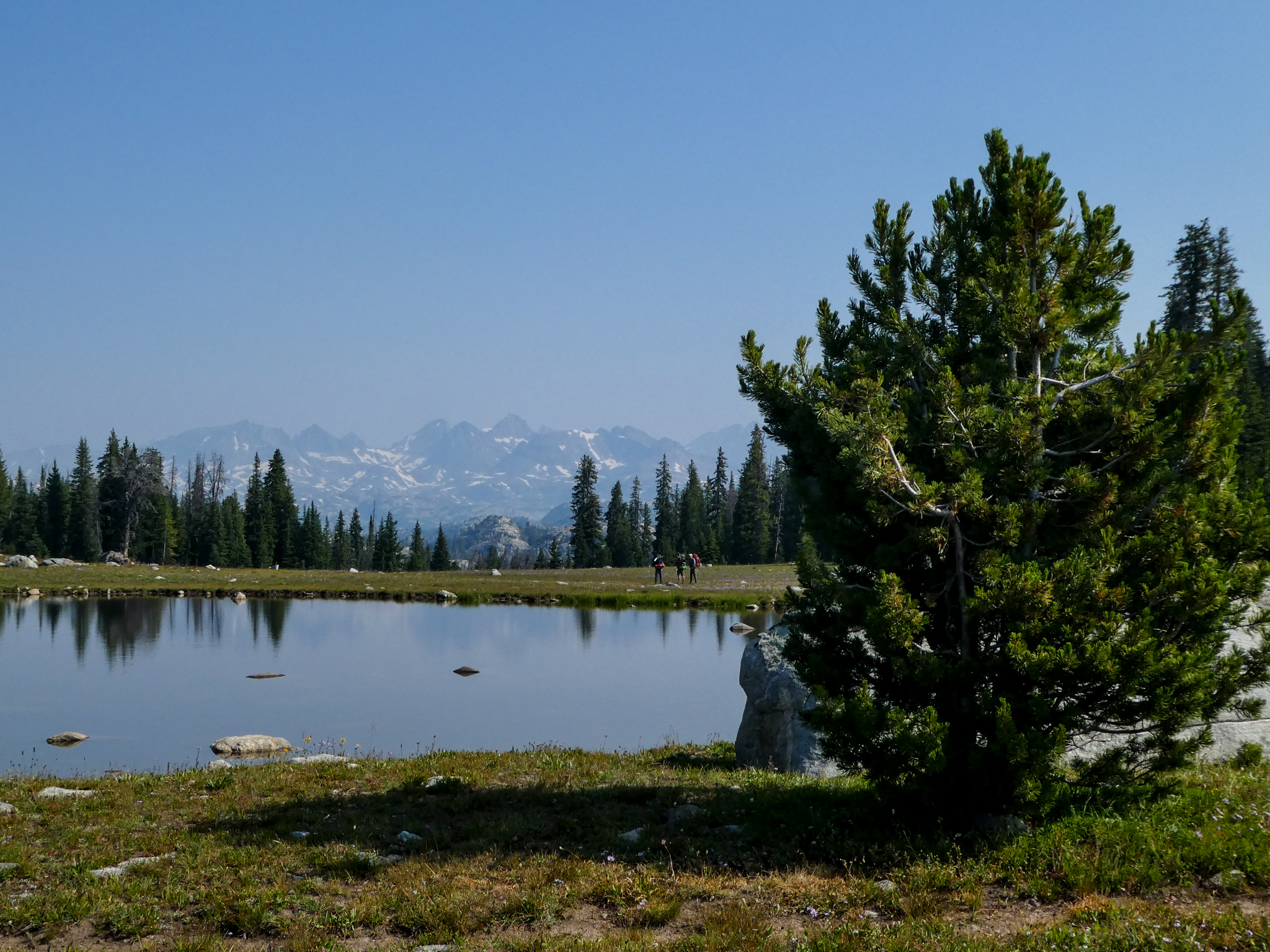
And then, not much further, another meadow with a tarn in it and some people that I didn’t meet ever.
Next lake on the agenda is Eklund, but hopefully I got a better photo of it on the way back, because my in-route photos aren’t very compelling. And then after climbing out of that basin, you climb quickly back into the next one with some lake that’s small and the name of which I’ve forgotten and can’t find anywhere.
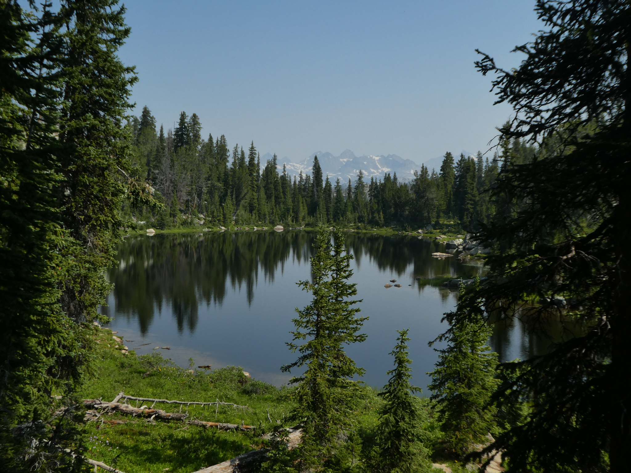
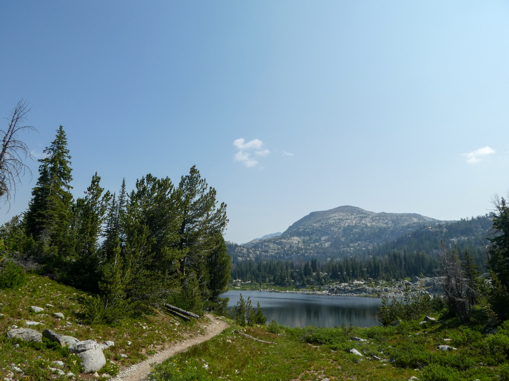
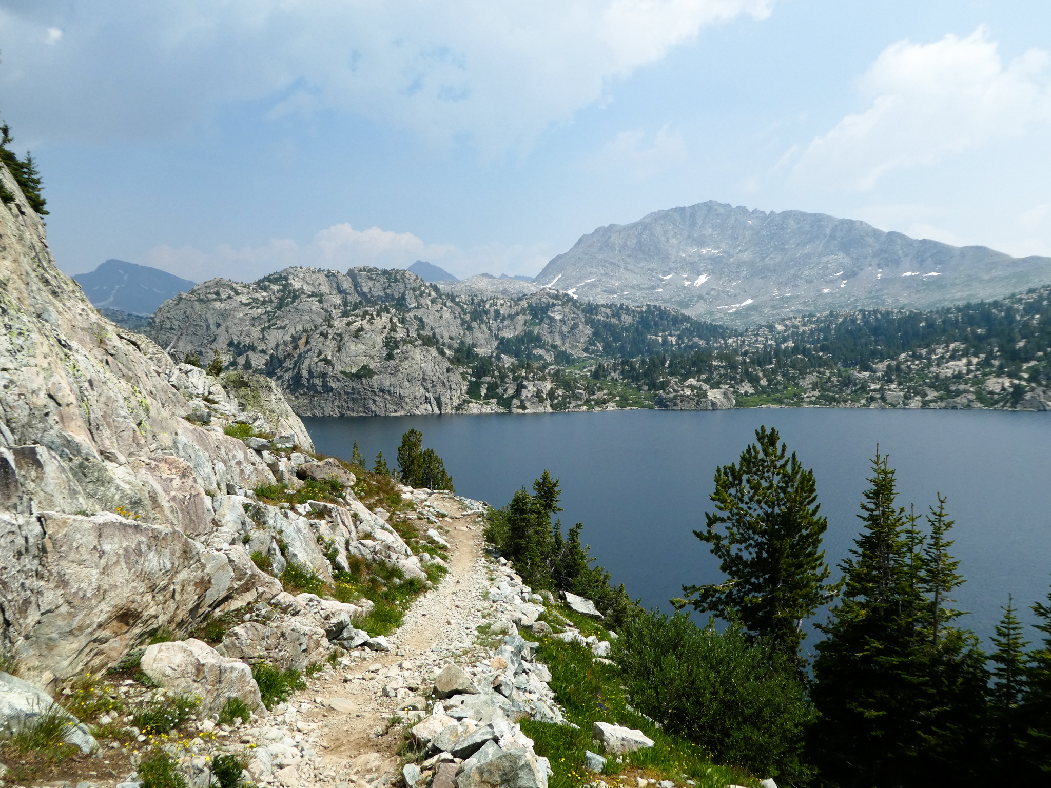
This is sort of a high point of the hike. Scenic lake, mountains in the background, enough up-and-down to feel like you’ve done something, not so much that you’re writing the letter in your head informing the forest service that they should probably just go ahead and start using dynamite to form some tunnels. Anyway:
Seems like it might have had a woman’s name. The lake, I mean.
Then it’s on to Hobbs Lake, which is a little more strenuous a trail — but not entirely without upsides.
And then ol’ Hobbs itself:
There weren’t many obvious campsites on Hobbs, but from a distance perspective, this would probably be my lake of recommendation for first-night camping. It’s the last good location before the big slog up to Seneca Lake.
This photo, not much past Hobbs, makes the slog look better than it was:
As does this pretty little unnamed (?) tarn:
But then that last mile hiking up to Seneca was pretty awful. Steep and kind of ugly.
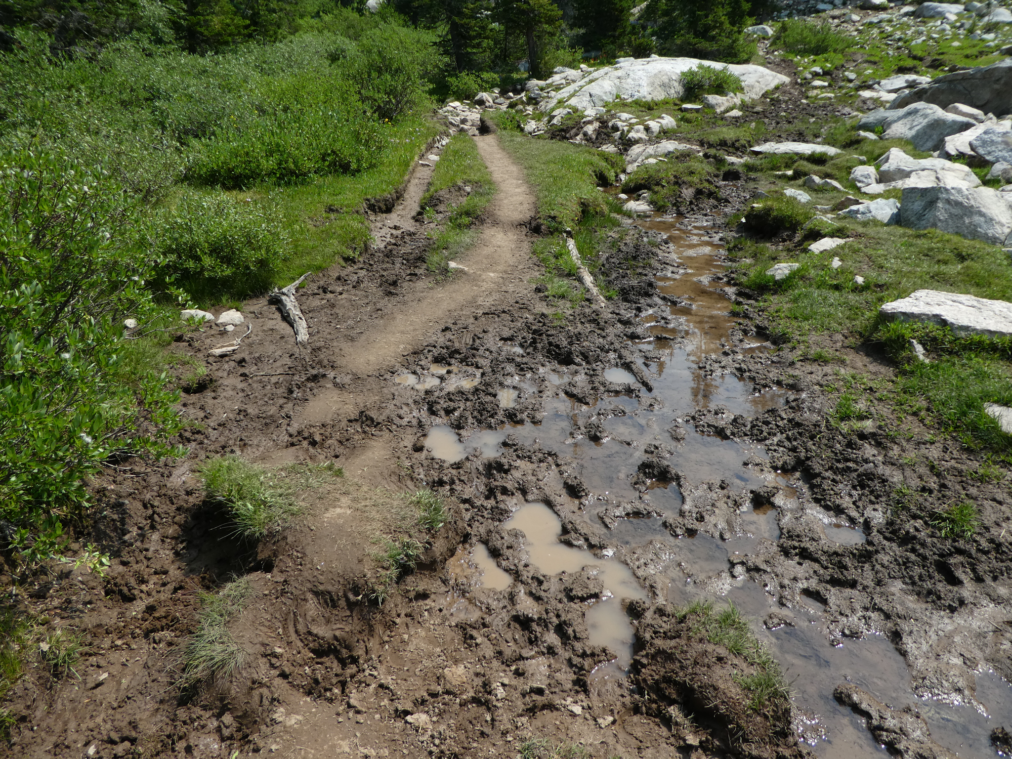
The mud wasn’t actually a big factor, but I didn’t take pictures of the true awfulness. Steep tree prison with nothing to look at. Slog.
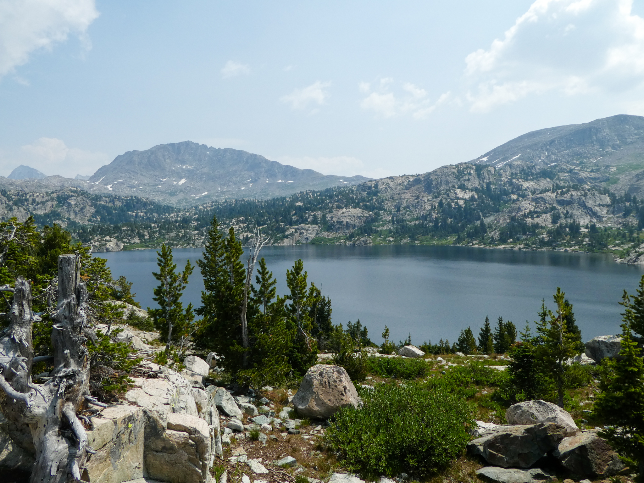
But then you get to the top of the slog and get to take in Seneca Lake. You’re pretty much above the timberline and Island Lake is at about the same elevation. You actually have quite a ways to go to get to Island Lake, of course, none of which is anywhere near flat, but whatever: here you are.
Just the walk around the lake has a ton of elevation change (Dear Forest Service: Go ahead and start blasting out some tunnels in the Wind Rivers. Thank you, bkd). There are campsites here, but none of them looked very cozy or inviting. It’s the biggest lake on the hike though. I think.
Then you leave it.
You pass by Little Seneca Lake next, which is just like Seneca Lake only smaller. Then you start getting into the talus slopes.
After the talus, you still have a little ways to go. Here’s yet another tarn.
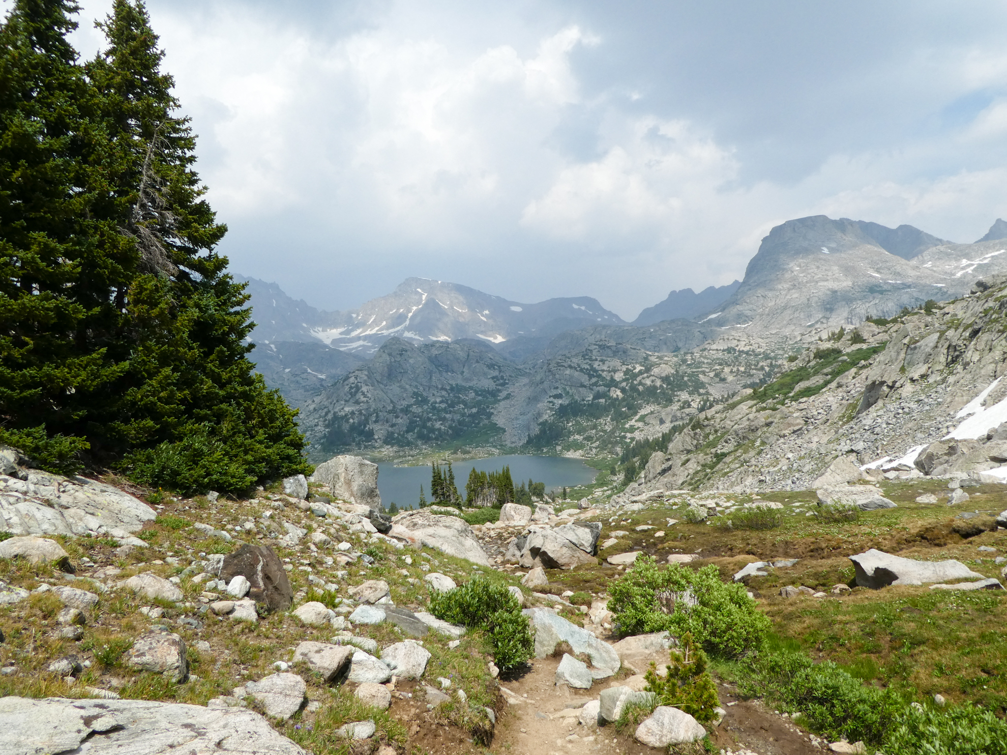
And then the final descent into Island Lake basin:
Finally, to where I camped, this is close-ish:
Not pictured are the literally dozens of tents scattered across this slope heading down into the lake. So crowded. I was also pretty dehydrated by the time I got here because I am stupid. I set up camp, took a nap (!), ate dinner, read that Chichester book about flying airplanes to New Zealand for not good reason, then, because it was night-time, slept.
bkd

