Ozark Weekend
So when you live in Oklahoma, the prospect of traveling to Arkansas is seen as a positive thing. Arkansas has mountains, trees, and rivers. I mean, “mountains”. It has Ozarks. Don’t mean to denigrate. They are what they are and that’s good for them and way better than, you know, what’s in Oklahoma.
On a pleasant-enough Friday a few weeks back, I got into the Jeep and headed east out of Indian Territory. I took Sooner Road up to I-40 if you were curious. There were a lot of cops on I-40. It’s interesting how much nicer the road conditions seem once you hit the state line. From the freeway, Fort Smith, Ark. looks like a city that would have a lot of strip malls in it.
From the 40, headed up the 49, eventually exiting somewhere and heading to Devil’s Den State Park, a park created in 1973 to placate local satanists. Not really. Anyway, I found some website that purported to list the “five best hikes in Arkansas”, although I think their methodology was flawed. One of the Top 5 was the Devil’s Den loop. It was a tourist hike and there were some very overweight people on the trail — which, good for them, right? They weren’t very self aware about blocking the way forward though. Just for the record. I wore actual hiking boots, which made me feel like I’d brought a gun to a knife fight.
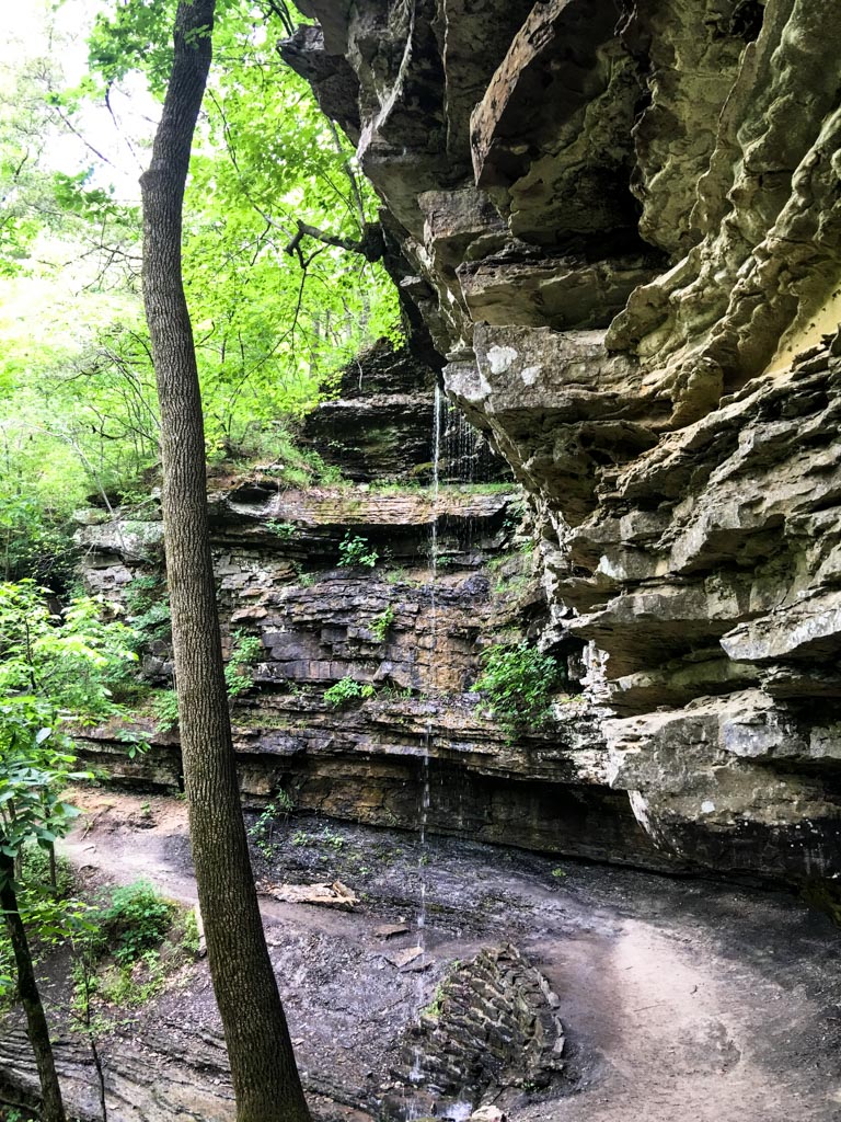
I believe the “Devil’s Den” to be some sort of cave. But there were iron bars and a closed sign on the cave that I found alongside the trail. The trail goes under this waterfall.
I worry a little about a state park that feels it also has to have water slides to justify its existence. They also appeared to have had a fire in the (closed, but not obviously under repair) restaurant. It only took 3.5 hours to get here.
And for all that, it was still nice to be somewhere with trees, water, and any amount of topography.
Then I got back on the road, intent to take the scenic route from Devil’s Den to Harrison, Ark. (which someone from Little Rock later told me was the Klan capital of the state — the grand wizard lives there!). Anyway, the drive was very nice, the roads were good, and I wished I would’ve brought the M Coupe. One day, I need to take the Coupe out to Arkansas, just for the roads. Curvy, hilly, lightly trafficked, and generally well-paved.
Later, I would accidentally arrive at what was billed as The Grand Canyon of Arkansas.
It’s probably on par with the Grand Canyon of Pennsylvania and, I dunno, Shenandoah National Park?
Yeah, so, stayed the night in Harrison, then got up bright and early for free* hotel breakfast and drove off to find the Compton trailhead to gain entry into the Buffalo National River area. From here, I hiked down into the river valley toward a destination called Hemmed-in-Hollow Falls. At 250 feet, it’s the tallest waterfall between the Rockies and the Pyrenees or something. Tall enough to be hard to fit into the frame of a photograph, and low-volume enough to be hard to see once you do.
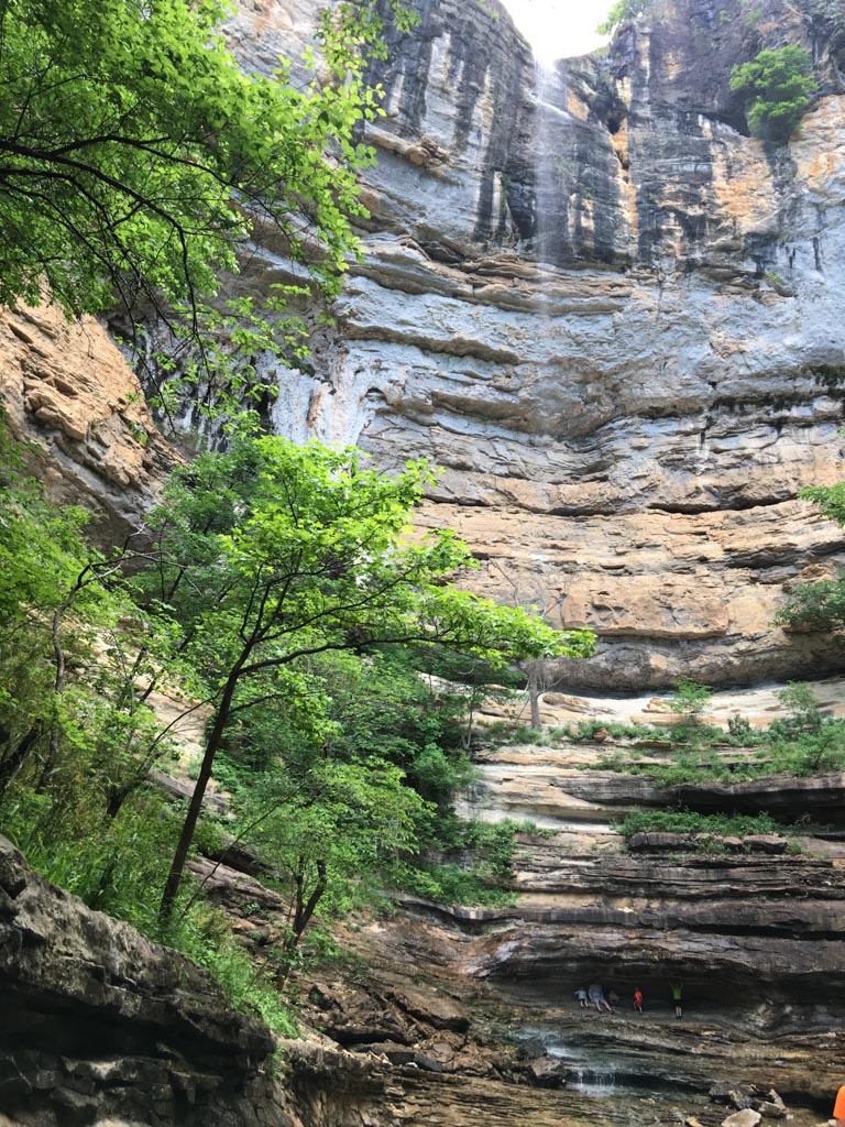
There are people wearing day glow colors to give some size perspective. Some of them had never experienced echoes before (apparently).
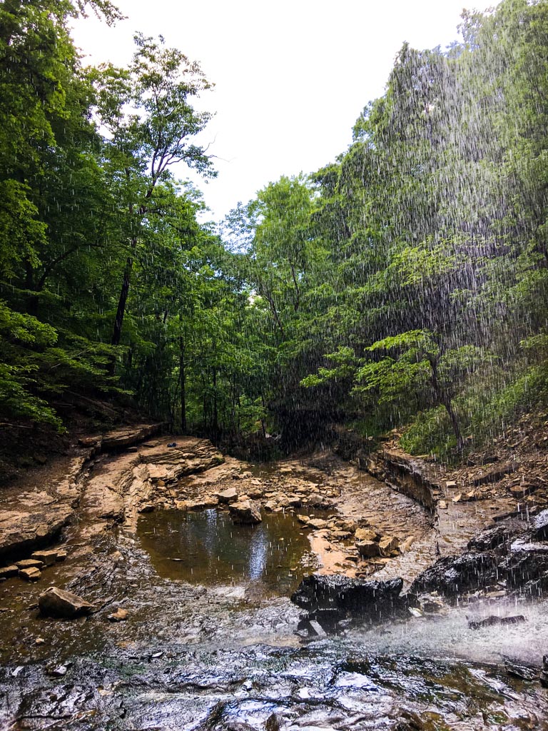
Might have to click on that one a couple times to see it in portrait orientation. It’s a prettier location than that photo would lead you to assume and, especially once the kids leave, exceptionally serene. The photo from behind the fall turned out more interesting.
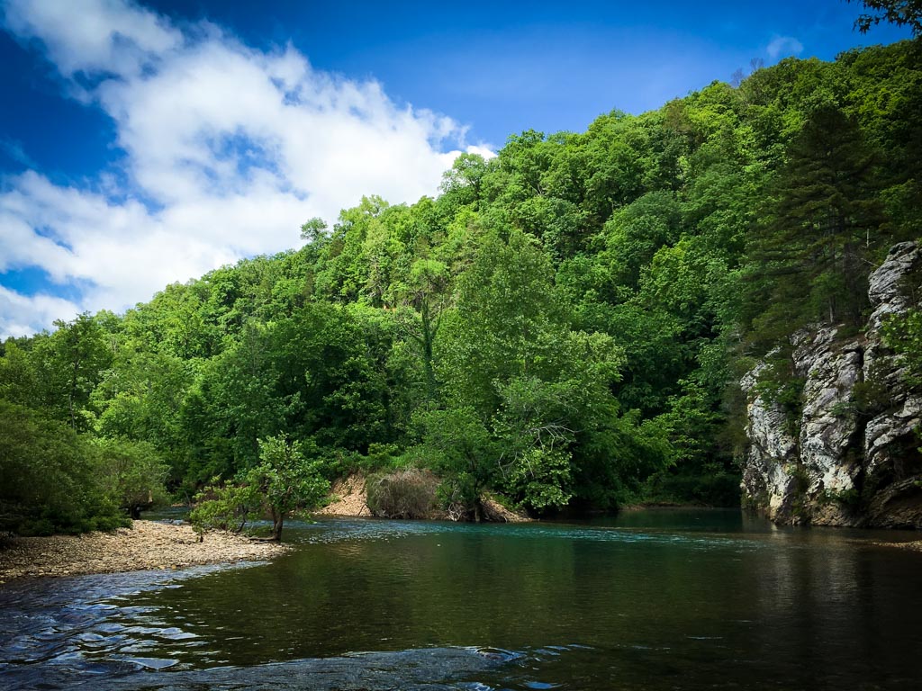
Since I was mostly all the way down to the bottom of the valley anyway, I figured I might as well go to the river. So I went to the river, which prides itself on not being dammed — until it converges with some other river, which has had the heck dammed right out of it. But it’s free-flowing for 150 miles from its source till it gets there.
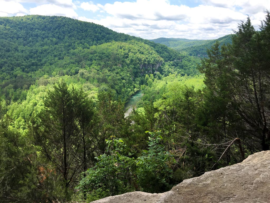
From there, I waded, then walked up the trail to Goat Bluff, so named because it’s possible to fall off parts of it and die. It wasn’t that photogenic. I mean, nice, just:
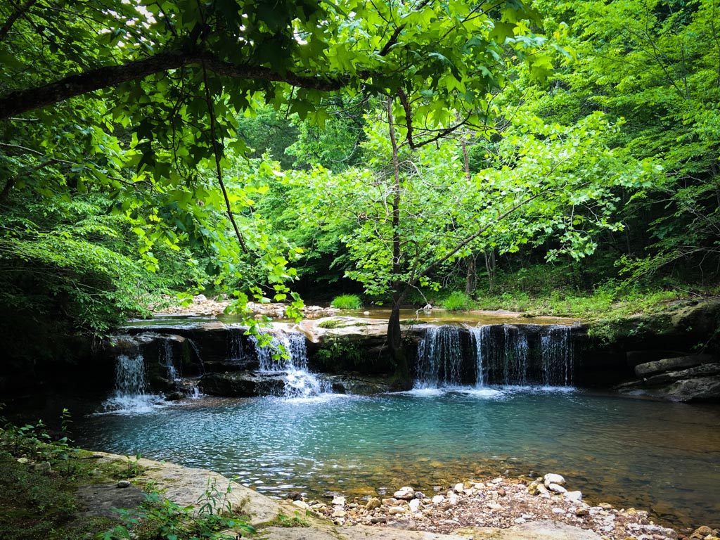
And then I took some other trail back to the trailhead to avoid making this an out-and-back hike. The other trail was kind of more interesting than the way down. It followed Sneeds Creek for about half the way, which was a shallow, but interesting (undammed!) creek with a number of pretty little cascades.
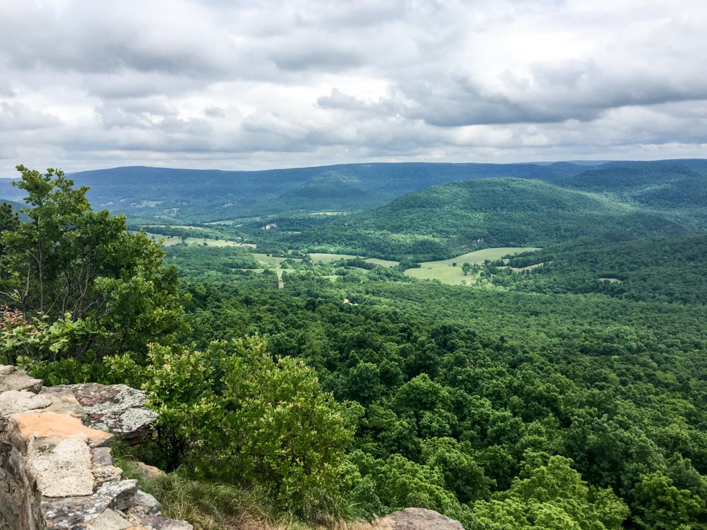
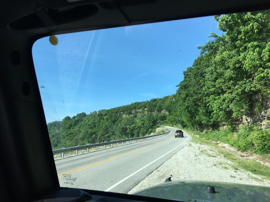
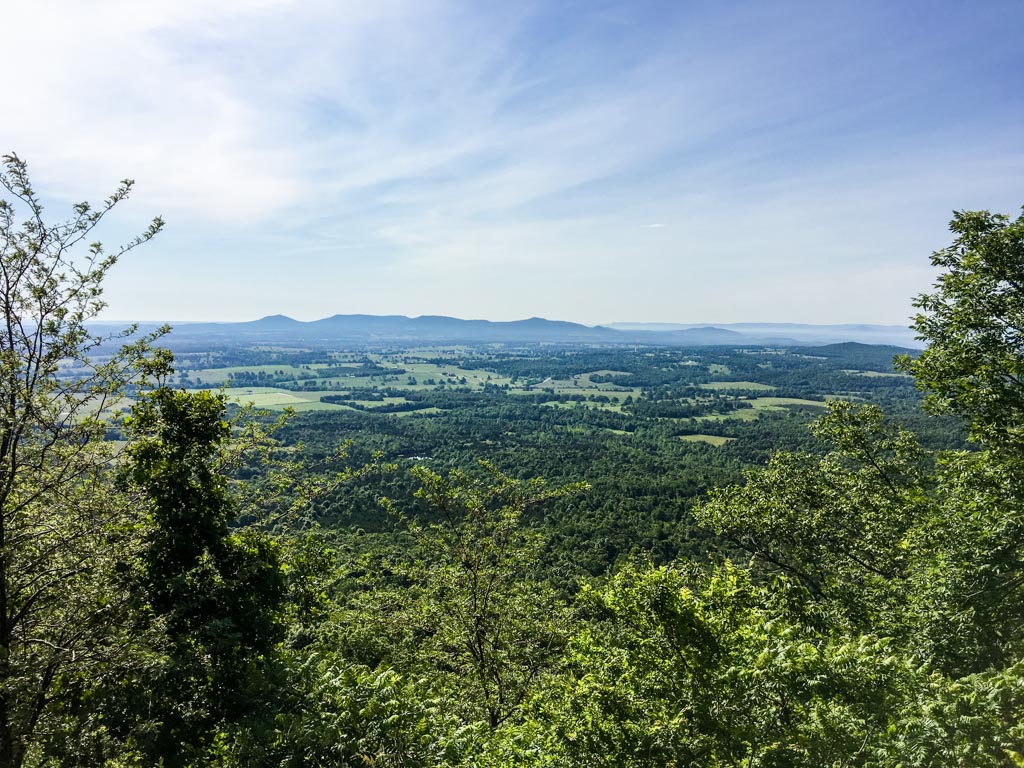
This was also about where the timber rattler came in, rattled, then eventually decided to get off the trail so I could go home. Spent another night in Harrison, then the next day drove home. Some nice views of and from the road:
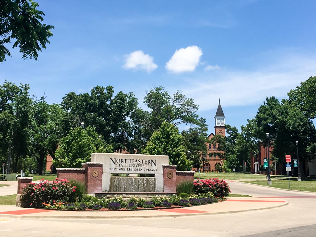
Also, on the way home, I stopped in Tahlequah, the Cherokee Nation capital. Unfortunately everything was closed (it was Sunday), except for an oddly good pizza place that had the word “chicken” in its name. Tahlequah has a lot of signs up around town that use the Cherokee alphabet. Frex this one:
In case you ever wondered what that might look like engraved into concrete.
Other notes:
- – Need to not forget my real camera. The iPhone doesn’t always cut it (plus battery life).
- – This all probably would have been brutally hot+humid in summer. I went mid-May — great weather for it.
- – Harrison was kind of a weird little town; not much there to recommend it, although the checkout person at Walgreens was attentive.
- – Harrison’s crayfish festival was disappointing; I expected more crayfish.
- – When I got back, I felt like I needed to watch Straight Outta Compton (the movie). It was just okay.
bkd
* Free when you pay for hotel room.

